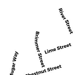
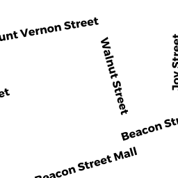
36 RIVER ST
Owner Information
HUNKEL JANET L
36 RIVER ST
BOSTON, MA 02108


Property Details
36 RIVER ST is classified as a Apartments with Four to Eight Units (Apt 4-6 units).
The primary structure on this property was built in 1899. There are 3,804ft2 of built area within this property. There is 3,170ft2 of residential/living space within this property.
36 RIVER ST is valued at $1,775,400. The land is valued at $606,600 and the structures are valued at $1,168,800.
36 RIVER ST was last sold on Thursday, January 1, 1987 for $0.
Assessment data from fiscal year 2020.
Flood Data
According to the FEMA National Flood Hazard Layer, this property does not appear to be in a flood zone. It may also be in an area not yet reviewed. Nonetheless, confirm this information prior to taking any action.
To view the flood hazards around this property, create a FEMA "Firmette" Map of the area around 36 RIVER ST.
Broadband Internet Providers
| Provider | Type | Bandwidth (mbps) | |
|---|---|---|---|
| Comcast | Cable | 1000 | 35 |
| VSAT Systems, LLC. | Satellite | 2 | 1 |
| Viasat Inc | Satellite | 100 | 3 |
| Verizon New England Inc. | DSL | 15 | 1 |
| HughesNet | Satellite | 25 | 3 |
| GCI Communication Corp. | Satellite | 0 | 0 |
| netBlazr Inc | Fixed Wireless | 50 | 50 |
| Starry, Inc. | Fixed Wireless | 200 | 200 |
Broadband service provider data from December 2020.
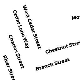
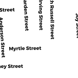
Adjacent Properties
- 22A Lime ST
Mixed Use (Primarily Residential, some Commercial) owned by TWO LIME ST LLC MASS LLC - 67 CHESTNUT ST
Mixed Use (Primarily Residential, some Commercial) owned by LYDON LUCINE A ETAL - 34 RIVER ST 1
Residential Condominium owned by BARBA MATTHEW - 34 RIVER ST
Other, Open Space owned by THIRTY-4 RIVER ST CONDO TR - 34 RIVER ST 2
Residential Condominium owned by BARBA MATTHEW - 34 RIVER ST 3
Residential Condominium owned by BARBA MATTHEW - 34 RIVER ST 4
Residential Condominium owned by BARBA KAITLYN T